Resources Publications and Products

File Size: 934.67 KB
Media Type:
Fact Sheet | Brochure | Poster | Extension Report | Research Summary, Pre ADA Web RulePublication Number:
IISG20-RCE-BRC-020Pages:
2Description:
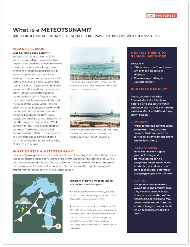
Meteotsunamis are a tsunami-like wave generated from severe weather impacts on speed and direction of wave movement over a waterbody. These events can result in a localized rise in water levels by as much as 1-2 feet, leading to dangerous rip currents, and lasting minutes to hours. While a true tsunami is much larger, meteotsunamis are more widespread and occur more often. Meteotsunami frequency is realted to both storm frequency and the charactaristics of a waterbody and its coast. In the Great Lakes, they are observed most frequently at sites with the largest harbors posing a sudden threat to beachgoers safety. Many people are unaware of the phenomena and the dangers they produce. While somewhat rare, these events are most common from late spring to early summer and are likely to become more of a concern due to climate change, with increasing frequency and severity of storms in the Great Lakes region.
Recommended Citation
Illinois Coastal Management Program; Prairie Research Institute; Illinois Department of Natural Resources; Lisa Krause; Veronica Fall. (2020) What is a Meteotsunami? Meterological Tsunami: A Tsunami-Like Wave Caused by Weather Systems. Illinois-Indiana Sea Grant Report IISG20-RCE-BRC-020.
ADA Compliance Information
Some linked publications may not fully meet current ADA accessibility standards and are provided for historical and archival purposes. If you need a plain-text screen or reader-friendly version of any document on our website, please contact us and we will do our best to provide one.
