Every five years, Lake Michigan is the focus of intense research and monitoring when scientists come together to answer critical questions and fill information gaps. A report summarizing the results of the 2015 data collection on the lake is now available.
Each year since 2002, through the Cooperative Science Monitoring Initiative (CSMI), multiple federal, state, and university scientists gather on one of the Great Lakes to take part in coordinated research. CSMI is a binational program organized through the U.S. Environmental Protection Agency Great Lakes National Program Office and Environment and Climate Change Canada.
“CSMI provides an ideal opportunity for scientists to work collaboratively to tackle complex questions in the Great Lakes,” said David “Bo” Bunnell, a researcher with U.S. Geological Survey. “For example, to understand whether changes in plankton are affecting larval fish, given the size of Lake Michigan and the frequency of sampling required, collaboration among agencies offers the best opportunity to enhance our knowledge and inform managers.”
In recent years, Paris Collingsworth, Illinois-Indiana Sea Grant Great Lakes ecosystem specialist and Purdue University researcher, has provided leadership in collaboration with EPA scientists, defining critical questions and coordinating research efforts of various agencies for large-scale studies. He works with the lake partnerships for each lake as they define research priorities, and with scientists as they set up studies and analyze data. He is also helping coordinate Great Lakes Sea Grant programs to develop CSMI outreach products to share research results.
The 2015 Lake Michigan field-year priorities included learning more about the nearshore conditions and the movement of nutrients and organisms offshore, the effect of nutrient loading on water quality, the health and status of the lake’s lower food web, and the movement of contaminants through the food web.
Quagga mussels featured prominently in the key findings of the compiled research results. The researchers found that in mid-depth regions of the lake, where most of these invasive mussels are, their numbers have declined, but their biomass has increased—the mussels are getting bigger. Meanwhile, in deeper parts of the lake, quagga mussel populations continue to expand.
“As quagga mussels filter water, they remove nutrients, bacteria and phytoplankton from the lake, which means that resources at the base of the food web that would have been available under pre-invasion conditions are now bound up in the quagga mussel,” said Collingsworth. “Quantifying the effects of these mussels on energy flow throughout the lake is an important concern for the management community of Lake Michigan.”
In the open waters of the lake, studies revealed that larval fish are growing about half as fast as they did before quagga mussels were established in the early 2000s. In fact, fish data suggest that nearshore areas, and potentially the entire Lake Michigan ecosystem, may not have a sustainable food supply.
The news is better from studies on contaminant levels. The results suggest that efforts to reduce contaminants in Lake Michigan are meeting or exceeding their goals. For example, scientists looked at concentrations of atrazine, a herbicide commonly used in agriculture, and PCBs, a group of industrial chemical banned since 1979, but still present in the lake. In monitored locations, they both are declining faster than predicted.
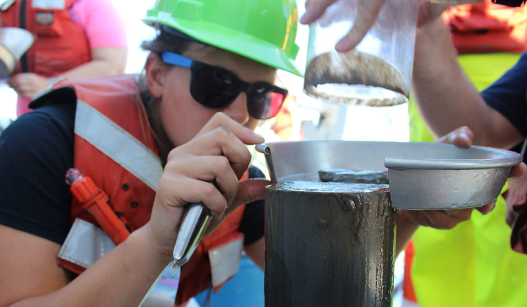
The CSMI monitoring on Lake Michigan also provided an opportunity to use advances in technology to answer complicated questions. For many decades, devices known as Ponar dredges have been lowered to the lake bottom at a series of single points to capture and bring up bottom-dwelling animals. In 2015, this work was supplemented with a camera attached to a benthic sled that recorded video of the lake bottom.
“The traditional method is still necessary to examine individual animals to learn how they are growing, or the makeup of their DNA,” said Carolyn Foley, IISG research coordinator. “However, the sled sampling gives a much broader picture of exactly where animals are, and in what numbers. Using both sampling techniques can help scientists get a much better picture of exactly what is happening 60 to 900 feet below the surface of Lake Michigan.”
As the CSMI cycle continues, planning has begun for the 2020 Lake Michigan field season. To begin this process, in October, about 60 Lake Michigan federal, state, university and tribal scientists as well as managers met in Milwaukee, Wisconsin to reflect on past research outcomes, explore scientific gaps, and suggest future research areas. The workshop was facilitated by IISG and sponsored by the International Joint Commission.
You can find the CSMI 2015 Lake Michigan Report, including the executive summary and the compendium of research project results, on the IISG website. IISG specialists are also creating an Esri Story Map, which will use an interactive approach to describe the research results.

