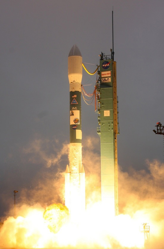
 The mission of NASA’s newest Earth satellite may sound simple, but its findings could have huge impacts across the world and right here in the Midwest. When it launched last month, the Soil Moisture Active Passive, or SMAP, began a three-year project to collect data on a key player in the water and carbon cycles that determine plant growth and drive weather patterns: soil moisture. IISG’s Michael Brennan has the details.
 As the name suggests, soil moisture data tells us how much water the soil can absorb and store. These measurements play a crucial role in everything from knowing when to plant crops to community flood planning. If there isn’t enough moisture in the soil, plants can’t take root and grow. And if the soil’s storage capacity has been maxed out, any additional rain or snowfall will runoff into nearby rivers and lakes—carrying nutrients and contaminants with it.
Due to the earth’s vast landscape, tracking and assessing soil moisture is extremely challenging, especially in remote locations. In fact, a lack of detailed soil moisture data has historically been a significant hurdle for community planners, farmers, and climate and weather forecasters. SMAP has the potential to change all of that. Its microwave radiometer and radar instruments will give us the most accurate, high-resolution moisture data ever collected from space. And its orbital path will ensure we have measurements from pole to pole.
NASA has said that it expects to release the first set of measurements within nine months, with fully-validated data expected in 15 months. With these numbers in hand, farmers will be able to hone in on the ideal time for planing and harvesting and community decision makers will be able to pinpoint their flood risk—and plan accordingly. The data will also tell scientists how much carbon is being stored in or released by plants, allowing them to refine the climate models that we rely on to predict and prepare for the impacts of climate change.
The NASA space program is responsible for a lot of technological and scientific advancements, but SMAP may be its greatest contribution yet.
For more information on SNAP for video showing its launch and orbit, visit smap.jpl.nasa.gov/.

