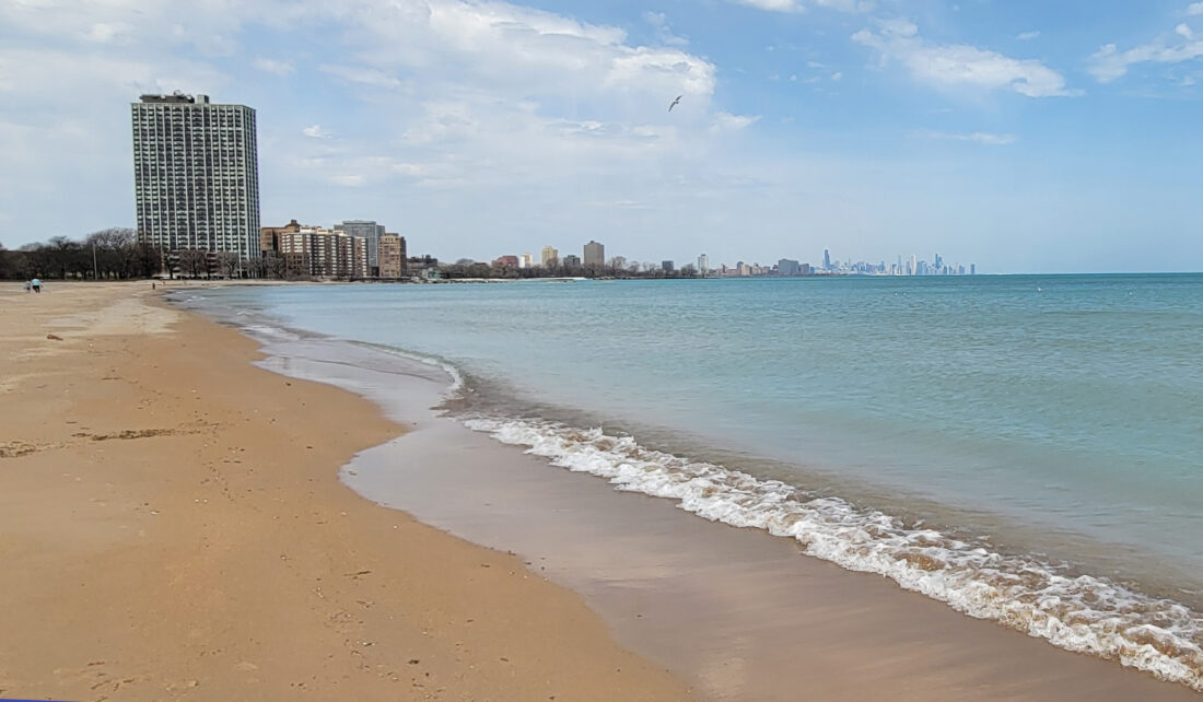
Although Lake Michigan attracts over 20 million recreational visitors each year, it is also deceptively dangerous. Its massive size and unique orientation allow wind and waves to build quickly, creating powerful rip currents, structural currents near piers and longshore currents.
On top of the dangerous currents, rapidly shifting weather, deep drop-offs and uneven lakebeds make the southern shoreline of Lake Michigan the most dangerous stretch of water in the Great Lakes when it comes to drownings.
Illinois-Indiana Sea Grant (IISG) is encouraging beachgoers, boaters, and anglers to be aware of the unique hazards of Lake Michigan, and to use the many tools available through IISG.
“Lake Michigan can be fun to play in, but every visitor still needs to remain alert to changing environmental conditions such as winds and storms,” said Leslie Dorworth, aquatic ecology specialist at IISG.
To help people stay safe, IISG brought together a coalition of local, state, and federal agencies—plus community leaders and volunteers—to form the Southern Lake Michigan Water Safety Task Force.
The task force launched the Lake Michigan Water Safety site, which offers a wide array of resources, including boating and fishing guidelines, brochures for warm- and cold-weather conditions, printable safety posters, fact sheets, beach signage and even an interactive water safety knowledge quiz.
“Some of our most helpful materials are the condition-specific brochures, our boating safety resources and the signage developed in collaboration with the National Weather Service,” said Dorworth. “And the videos are a great way to quickly get familiar with key safety tips.”
A great place to start is with the Lake Michigan water safety video for a quick overview of what to watch for before heading out on the water.
This Water Safety Month, IISG encourages all lake visitors to take a few moments to learn about the conditions unique to Lake Michigan and explore the tools available to help prevent accidents. Stay aware, stay informed and stay safe!
