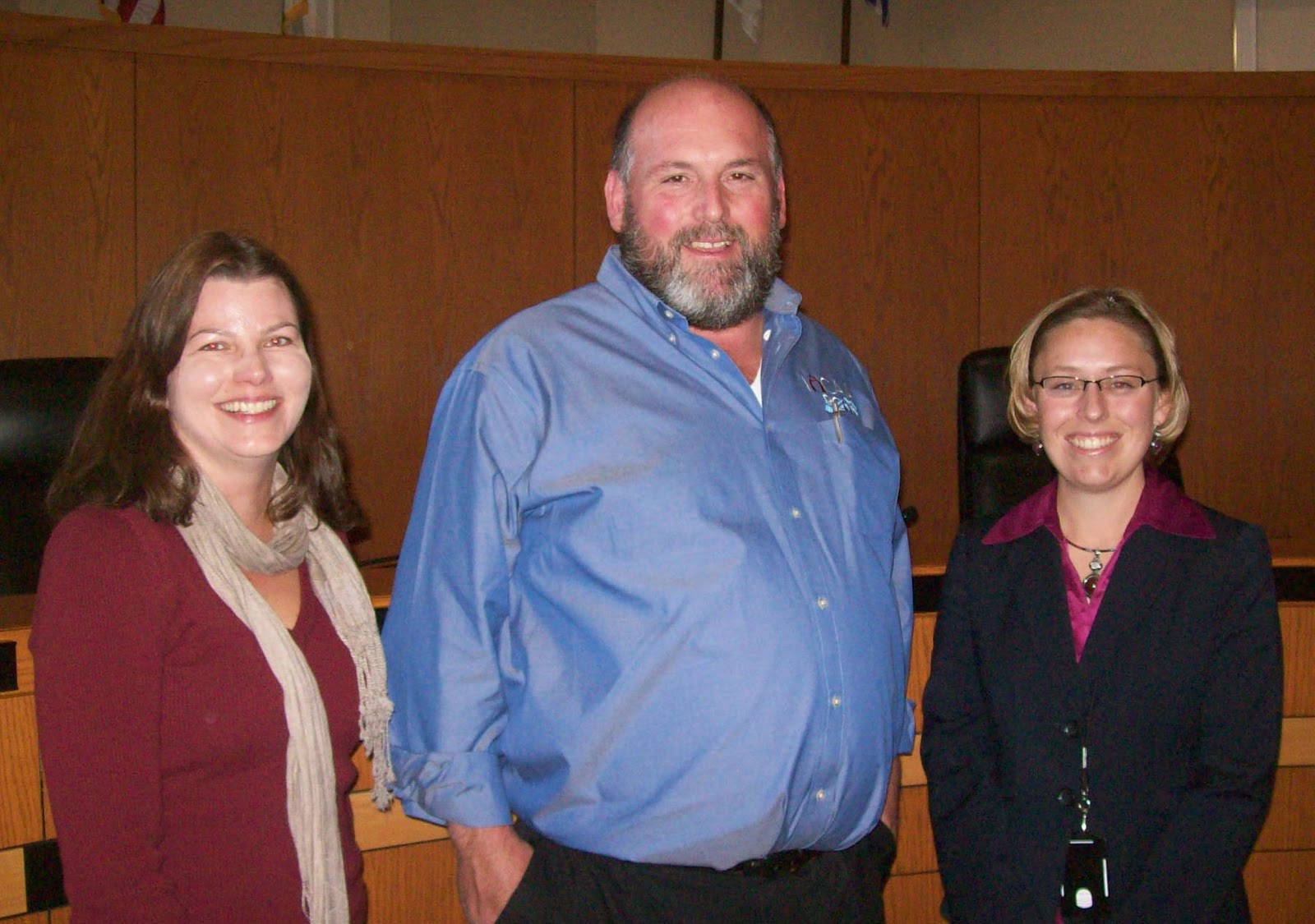
Margaret Schneemann (left), water resource economist with IISG and the Chicago Metropolitan Agency for Planning (CMAP), and Bud Mason (center), technical assistance provider for the Rural Community Assistance Program, have partnered together to help address financial management and rate setting issues faced by local utilities. This partnership came about through the northeastern Illinois water supply plan, WATER2050, developed by CMAP and the Regional Water Supply Planning Group, and the continuing partnership between IISG and CMAP.
Earlier this month, CMAP launched the region’s new comprehensive plan, GOTO2040. GOTO2040 emphasizes that our communities can be more livable if, among other things, we combine land use and water supply planning, and if we implement water conservation and efficiency strategies described in WATER2050. Meanwhile, the population in the region is predicted to increase by 25 percent by 2040. CMAP’s Tim Loftus, who directed WATER2050, explains, “Therein lies the central issue … How does the region accommodate millions more people with water supplies that are constrained? To avoid future shortages, water providers need to work together and consumers need to increase conservation.”
These are issues with which McHenry County Water Resources Manager Cassandra McKinney (right) is very familiar. McKinney worked over the past three years to develop the McHenry County Groundwater Resources Action Plan (WRAP) and is now bringing a series of speakers to the county to address the plan’s key implementation areas, including water conservation and rate setting.
On October 14, Schneemann and Mason spoke to the McHenry Groundwater Task Force on Water Conservation and Rate Setting on their technical assistance efforts in the region and how these could help the county implement WRAP. “Key to our efforts” McKinney said, is “proactively reaching out to stakeholders to ensure that our water supply planning efforts are coordinated with state and regional planning efforts through events such as this.”