Posted January 27th, 2015 in Aquatic Invasive Species
Managing aquatic invasive species is no easy—or cheap—task. Plants and animals spread to new regions through a variety of routes, many of which involve human activities like fishing, boating, and gardening. Coupled with the fact that there are hundreds of new species poised to thrive in Midwestern environments, it is very difficult for natural resource managers to get a jump on these invaders.
But all that may be changing in Illinois due to a new database cataloging the presence of non-native species across the state. Created at Loyola University Chicago by then-graduate student Abigail Jacobs and ecologist Reuben Keller, the database brings together animal and plant sightings collected by the U.S. Geological Survey, Field Museum, Illinois Natural History Survey, and many other organizations and researchers. Its more than 20,000 records makes it one of the most comprehensive AIS databases in country.
The size and detail of the database reveals previously-unknown patterns in the movement of invasive species that will help natural resource managers better focus their control and monitoring efforts.
“We now have maps showing the number of AIS in each county and showing where species tend to be first recorded,” said Keller. “These are really useful for determining where managers should focus on controlling existing invaders and where efforts should go into monitoring for new invaders.”
These maps and other analysis results are expected to be included in the updated Illinois State Comprehensive Management Plan for Aquatic Nuisance Species. First written in 1999, in part by IISG’s Pat Charlebois, the plan identifies invasive species that pose the greatest threat to the state and provides guidance for organizations working to halt their spread.
The results of the database will also help groups like the Illinois Department of Natural Resources and IISG hone in on areas where outreach efforts will have the biggest impact. This is particularly important for state-wide campaigns like Be a Hero—Transport Zeroand programs designed to combat invasive species available for sale.
“The database will make it easier to connect with audiences by talking about how the specific waterways and habitats they care about are being affected by invasive species,” said Pat.
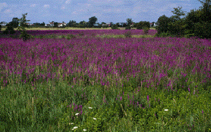
***Photo: Purple loosestrife is one of many invasive plants cataloged in the database.
***Photo: Purple loosestrife is one of many invasive plants cataloged in the database.
