Posted May 6th, 2013 in Great Lakes Cleanup, Recreation & Tourism
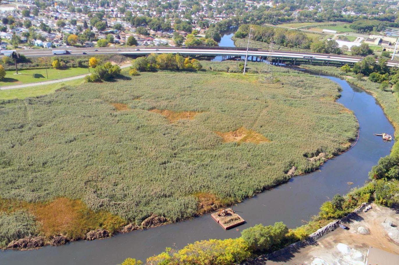
Dredging and restoration work on another section of the Grand Calumet river is set to begin this spring, removing more than one million cubic yards of contaminated sediment from the river bottom and rebuilding local wetlands.
Caitie McCoy, IISG’s environmental social scientist, provides some more information about the upcoming work:
“Work will start April 22 on a project that will dredge (remove) or cap (isolate from the ecosystem) 1.2 million cubic yards of river bottom sediment contaminated with PAHs, oil & grease, PCBs, and heavy metals like cadmium and copper. Volume-wise, this would fill about 300 Olympic-sized swimming pools. Along with restoration of more than 50 acres of wetland habitat, this work will take place for approximately three years from Kennedy Ave to Cline Ave…This work is funded by US Environmental Protection Agency, Indiana Department of Environment, and Indiana Department of Natural Resources, in partnership with US Fish and Wildlife Service, The Nature Conservancy, Shirley-Heinze Land Trust, Save the Dunes, municipalities, and other local and federal partners. The US Army Corps has also begun dredging in the Indiana Harbor and Ship Canal, and is on track to dredge 300,000 cubic yards through August this year.”
This editorial in the Times of Northwest Indiana provides more information about the project.
