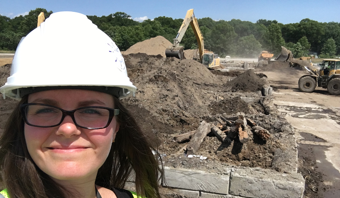
Through the Great Lakes Restoration Initiative, the Muskegon Lake Area of Concern took one step closer to a clean bill of health. At the former Zephyr Oil Refinery, 50,000 cubic yards of sediment contaminated with petroleum, lead and other heavy metals have been removed from an adjacent wetland.
In the early 1900s, Muskegon County experienced a mini oil boom and the Zephyr Oil Refinery set up shop overlooking the Muskegon River, converting crude oil into gasoline and naphtha. Over its lifetime, the company spilled hundreds of thousands of gallons of oil and built a ditch from the wetlands below to bring water closer to put out fires. During oil-based fires, water mixed with oil, ash and smoke—this mucky water was then returned to the wetlands.
The cleanup effort was led by the U.S. Environmental Protection Agency through a Great Lakes Legacy Act partnership with the Michigan Department of Environmental Quality.
“The Zephyr wetland, which sits on private property, is adjacent to the Muskegon River. It sits just above the mouth of the river to Muskegon Lake, where much cleanup work has already been done,” said Kathy Evans, Environmental Program Manager for the West Michigan Shoreline Regional Development Commission (WMSRDC). WMSRDC is the local support coordinator for the Muskegon Lake Watershed Partnership, a volunteer organization that works to restore the lake, and was a key player in helping bring attention to the site.
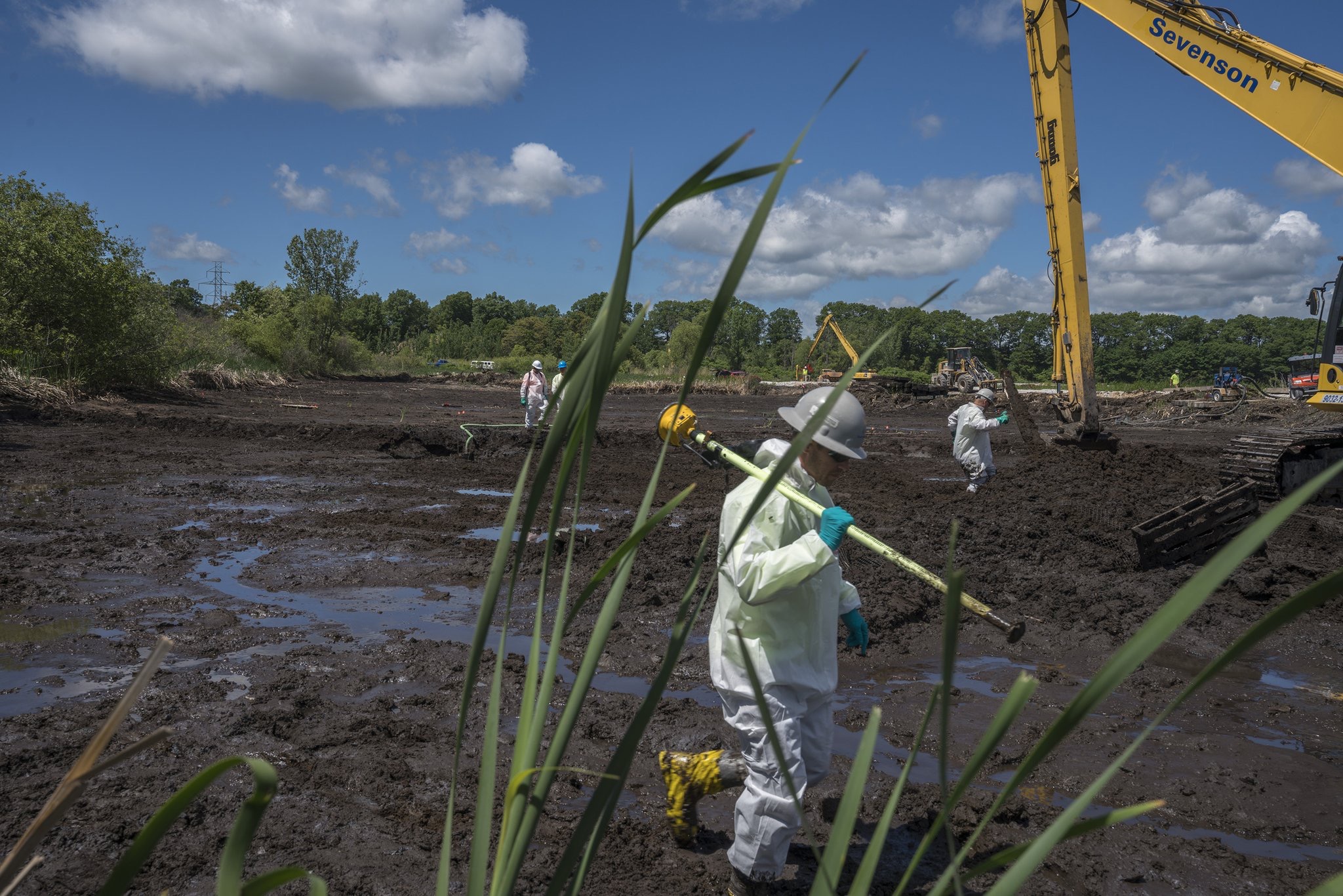
Workers accurately measure with GPS instruments the extent of the contamination before the oil-tainted soil was removed with heavy equipment. The soil was dewatered before being sent to a landfill. When the site was clean, new soil was placed and native vegetation planted. (Photo National Geographic / Peter Essick)
Before the cleanup, Caitie Nigrelli, Illinois-Indiana Sea Grant environmental social scientist, and her intern Carly Norris, interviewed residents to understand people’s perceptions of the remediation. Several findings from this effort helped shape how the public was informed as well as the cleanup process itself.
The needs assessment revealed that some residents were confused about what the cleanup entailed, expecting that nearby industrial storage tanks would be removed. “The contamination was historical and in the sediment—that’s what would be remediated,” explained Nigrelli. “We tailored our outreach information to make sure neighbors understood what the cleanup would accomplish.”
The interviews also revealed that many residents were very concerned about possible odors released from digging up petroleum-soaked sediment. To address this, EPA sought input from another federal agency, the Agency for Toxic Substances and Disease Registry, installed an air monitoring system and established a hotline for residents to report odors. The remediation was also timed to take some advantage of cooler months when people don’t typically have their windows open. Onsite, the dredgers used odor suppressing foam and quickly trucked away the smelliest sediment.
To make sure that nearby residents and businesses had accurate and timely information about the cleanup and potential accompanying odors, the outreach team donned their hardhats and went door to door. “We helped correct some rumors about the site and the cleanup so that expectations were where they should be,” said Nigrelli.
The cleanup also provided an opportunity to engage local students in learning about the impact of pollution in their community. In the Reeths-Puffer School District, IISG’s Ben Wegleitner visited 18 classrooms ranging from kindergarten to ninth grade, altogether talking to 250 students. He brought drone videos of the remediation work so the students could see the project progress.
“We talked about the wetland and how it’s connected to the Muskegon River and Muskegon Lake and then Lake Michigan,” said Wegleitner. “The cleanup of the wetland has impact on both the local scale and in context of the entire Great Lakes.”
Locally, Evans’ organization is already on to the next project to make the most of this work. “We were able to get funding from EPA and NOAA to restore another 53 acres of fish and wildlife habitat adjacent to Zephyr, immediately upstream,” she said. “This will make for a bigger, more meaningful and connected restored area from a fish and wildlife habitat perspective.”
For more information about the Zephyr cleanup (including before and after drone videos) and contaminated sediment in the Great Lakes, visit Great Lakes Mud.
