 Fourteen teachers from Illinois and Indiana are hard at work developing new science lessons that incorporate real-time data from the Michigan City buoy after a training workshop held last week at Purdue North Central.
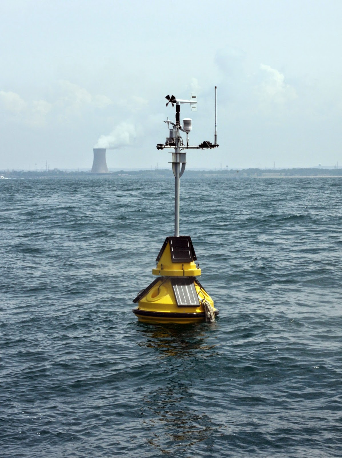
During the day-long workshop, IISG’s education and research teams, along with Purdue University’s Cary Troy, introduced teachers to the environmental monitoring buoy, the data it collects, and how researchers are using the data to better understand the nearshore waters of Lake Michigan.
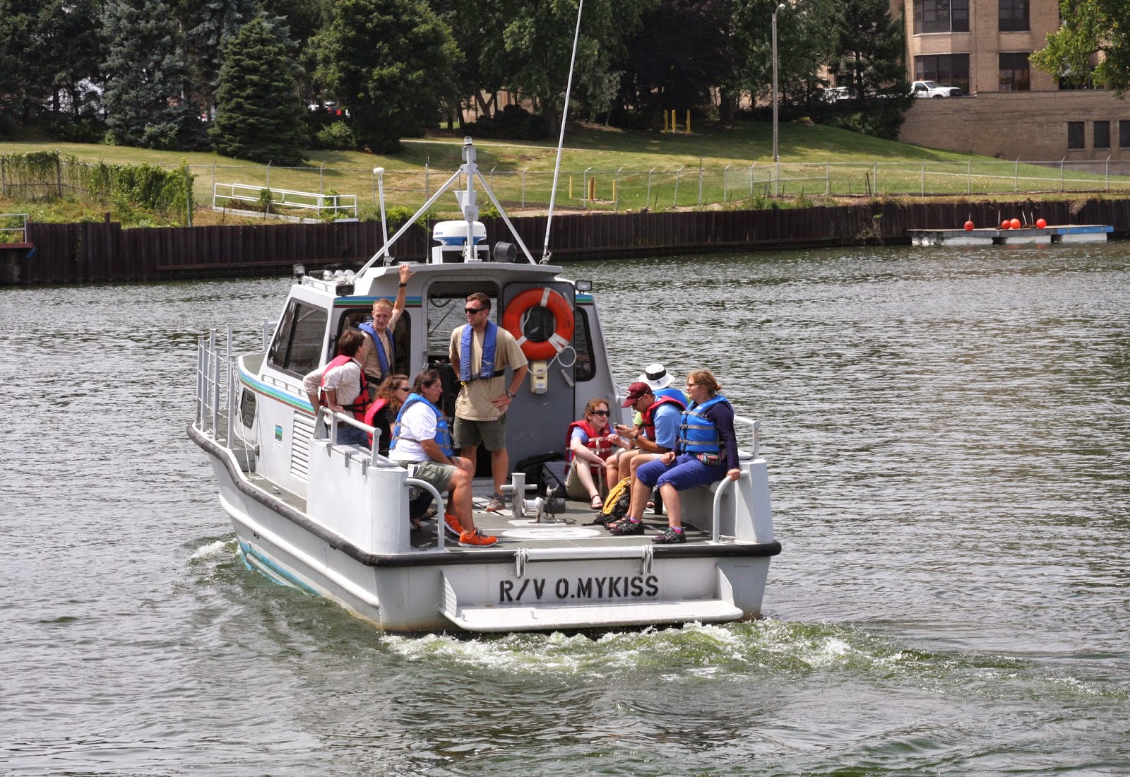
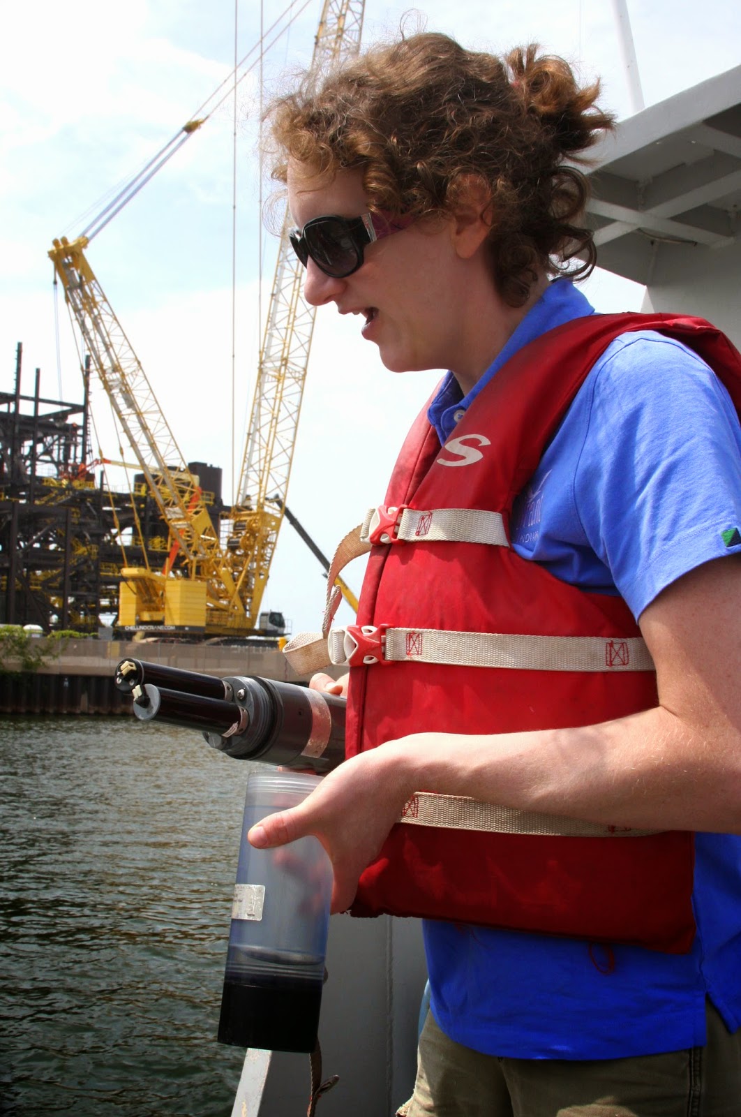
 The highlight of the workshop for many was the boat ride four miles into Lake Michigan to see the buoy first-hand—in smaller groups due to the size of the boat. The trips also gave teachers the opportunity to talk more with researchers and staff from the Indiana Department of Natural Resources(DNR) about the buoy and other data collection methods used to monitor fisheries, understand lake dynamics, and improve water safety.
The teachers will work together to develop at least six curriculum activities that improve STEM education—science, technology, engineering, and math—and boost understanding of Great Lakes issues. These won’t be complete till early next year, but the teachers already have big ideas for how to integrate the buoy data into their classrooms.
Several hope to use information on wind speed and water currents to improve their weather units. Others plan to use data collected by the buoy’s thermistor chain, which measures temperatures at different depths, to pinpoint the likely habitats of specific fish species and determine whether invaders like Asian carp could make a home in Lake Michigan. Some even expressed interest in having students compare buoy data with environmental characteristics collected on land to better understand solar radiation and seasonal changes.
The final lesson plans will be available on the IISG website.
Funding for the workshop was provided in part by the Indiana DNR Lake Michigan Coastal Program. Special thanks to the DNR staff at the Michigan City field office for taking the participants out on the lake.

