River Raisin in Monroe, Michigan is getting closer—one scoop at a time—to being delisted from the Great Lakes Areas of Concern.
The 2.6-mile section of the river, located near the Port of Monroe, Michigan’s only port on Lake Erie, was contaminated with PCBs and lead from nearby manufacturing. Multiple cleanups starting in 1997 have removed a total of 135,000 cubic yards of contaminated sediment.
The U.S. EPA, Michigan Department of Environmental Quality, Ford Motor Company, and IISG as well as local stakeholders worked together to reach this momentous milestone.
The River Raisin was once home to American lotus beds and sturgeon populations. Pollution drove these species away, but the cleanup will restore the river and provide a healthy habitat for native fish, birds, and plants.
Dredging was then followed by a process known as capping that involves the installation of sand, clay, and stones over any residual contaminated sediment to create a barrier with the rest of the waterbody. This strategy is commonly used in combination with dredging.
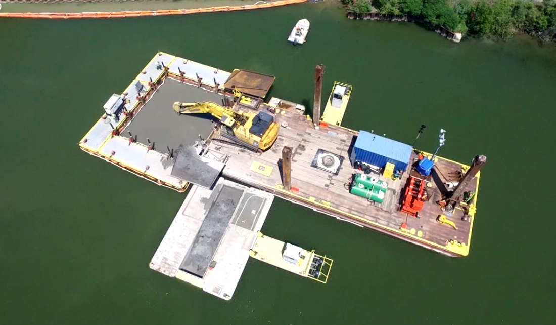
“Contractors worked 24 hours a day, seven days a week over the last month or so to get the remedial cap installed,” Ben Wegleitner, IISG sediment remediation outreach specialist. “They wanted to get the top layer of armor stone in place before the next large freighter came into port.”
Wegleitner narrated the video above.
In the coming weeks, the equipment and the sediment processing area will go through a complete decontamination procedure before being removed from the site.
The area will continue to go through extensive monitoring before it’s officially delisted from the Areas of Concern list through a process that can take years.
“This site has been through a lot in the last 30 years,” Wegleitner said. “Without a doubt, this is a major milestone.”
Illinois-Indiana Sea Grant is a part of University of Illinois Extension and Purdue Extension.
