The Michigan City buoy returned to the nearshore waters of Lake Michigan on June 5—this time with an upgrade that boaters, anglers, and researchers have been eagerly awaiting. In addition to broadcasting real-time data on wave height and direction, wind speed, and air and surface water temperatures, the improved buoy now relays water temperatures at different depths.
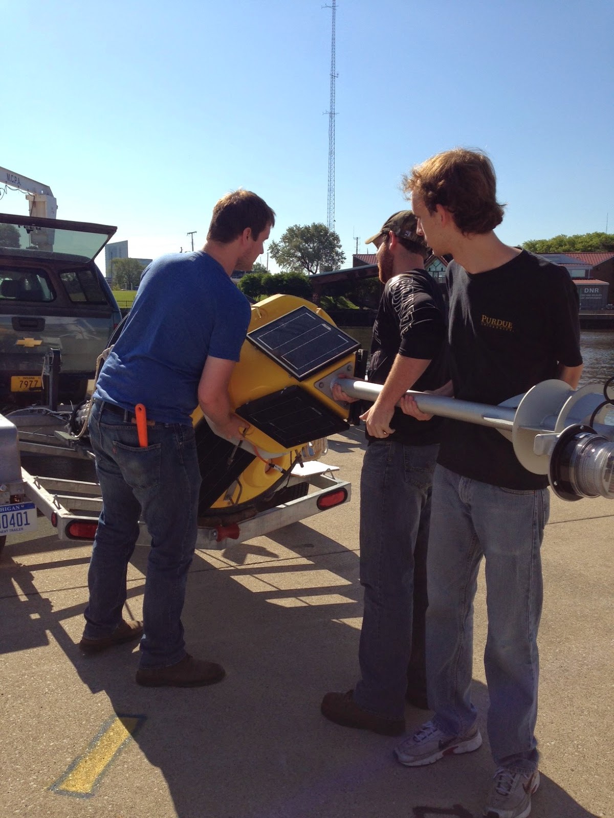
The sensor chain, which measures water temperatures approximately every 3 ft. from the surface to the bottom of the lake, will help kayakers know when the water is warm enough to paddle out and make it easier for anglers to find and catch their favorite fish. A more comprehensive picture of nearshore water temperatures is also vital for research on fisheries and nearshore hydrodynamics.
“We’ve been getting a lot of positive feedback asking us when the buoy will be in the water again,” said Carolyn Foley, IISG assistant research coordinator. “And they’re all excited to hear that we’ve added a temperature chain to our setup. The nearest buoy with a similar chain is about 30 miles away.”
Real-time data will be available on IISG’s website until the buoy is pulled out for the winter in mid-October. The site currently shows snapshots of lake conditions—updated every 10 minutes—as well as trends over 24-hour and 5-day periods. Buoy-watchers can also download raw historical data at NOAA’s National Data Buoy Center.
Later this summer, IISG will be hosting a workshop designed to help educators develop science, math, and stewardship projects using the real-time buoy data. The workshop is scheduled for August 6 at Purdue University North Central.
The Michigan City buoy is owned and operated by IISG and Purdue University Department of Civil Engineering. Funding for the new temperature sensor chain is provided by a grant from the Indiana Department of Natural Resources Lake Michigan Coastal Program.

