In this abbreviated interview, Research Coordinator Carolyn Foley and Communication Associate Sarah Gediman ask doctoral candidate Katey Strailey about her Illinois-Indiana Sea Grant-funded work. A researcher in the River and Landscape Systems Research Group at University of Illinois, Strailey is looking at how restoration structures in streams change turbulence, or flow of water, and what effects those changes have on fish.
When restoring streams, people may add physical structures as habitat to help fish, but relatively little is know about which structures are most beneficial. Doctoral candidate Katey Strailey is exploring this question using fish physiology, some really cool technology, and impressive surgical skills.
Q: Why did you choose to pursue this research?
A: Freshwater fish are some of the most endangered vertebrates on the planet. 40-50% of freshwater fish are endangered, and river fish have it particularly bad. Rivers are some of the most altered ecosystem types on the planet, which can cause fish to die or leave.
For centuries, humans have used rivers for hydropower, irrigation, drinking water, and transportation. While we (humans) do a lot of things that make it difficult for organisms to live there, we also try to restore the systems.
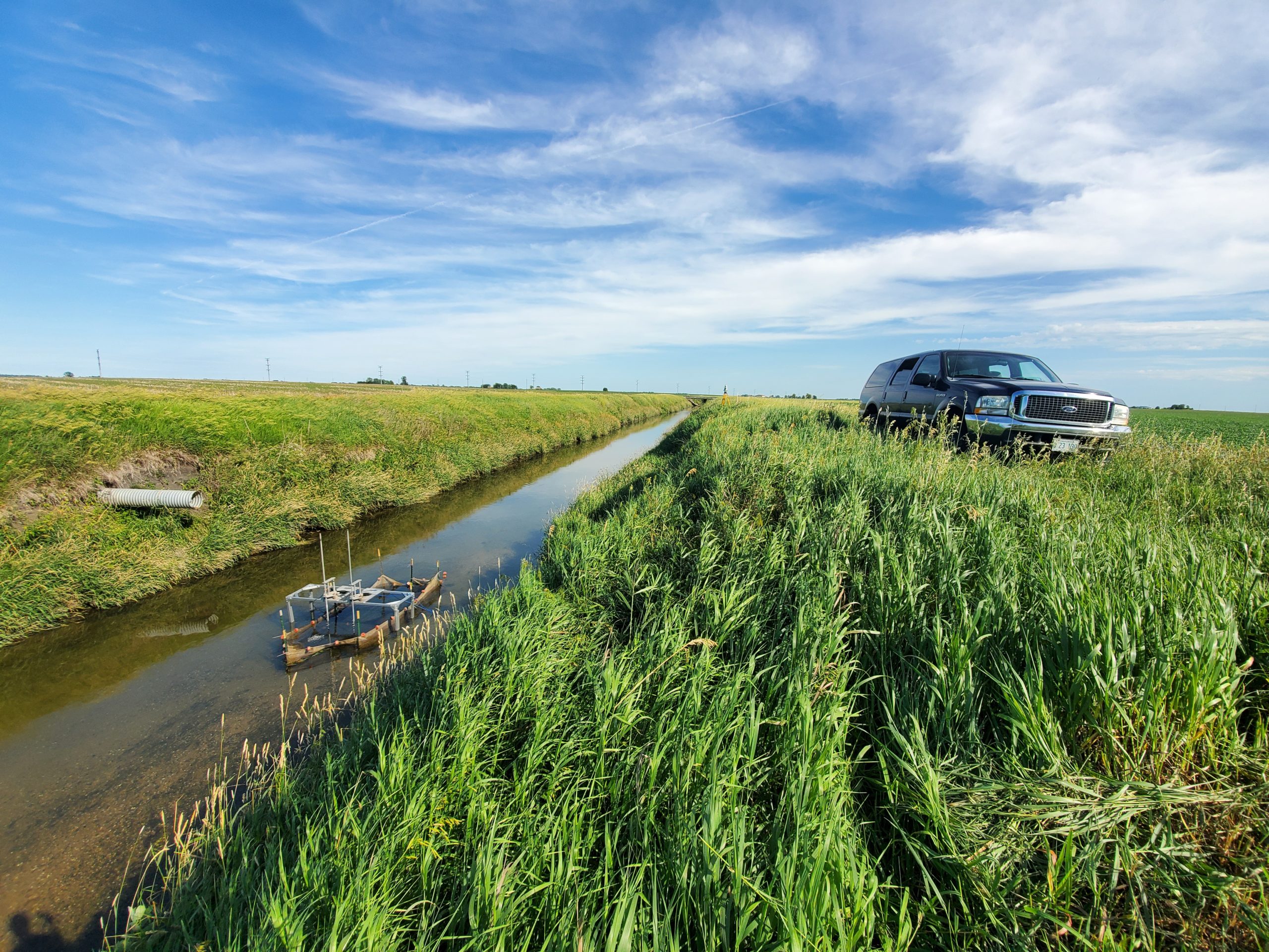
A stream where equipment to measure flow and turbulence has been installed. (Photo courtesy of Katey Strailey)
Q: How can restoration help?
A: Although we can’t always reverse all the damage, we hope that restoration can improve in-stream habitat, increase water quality, and prevent excessive erosion of stream banks. But the jury is still out on how effective current restoration strategies actually are in terms of ecological outcomes. In the U.S. alone, it’s estimated that more than $1 billion is spent on river restoration every year, and so we wanted to explore the how it’s helping question a bit more.
Q: For those of us who don’t know much about stream restoration, what new information will your research contribute to the discipline?
Our research focuses on understanding what makes certain turbulence beneficial or harmful for fish. Turbulence is the swirling, chaotic flow you see when you look at a river. That chaos can make it harder for fish to swim, but some types of turbulence actually help fish. Different structures, as the flowing water moves around them, cause different kinds of turbulence. Since structures are often placed in rivers or streams with a goal of helping fish, we need to be sure that fish actually want to be by them, and that they’re not driven away by them.
One issue with this type of research is that, between limited funding and short funding timelines, it’s really common for people to do a project, monitor it for a year or two, and then move on. But we know that it can take 10-15 years to see the effects a single project has on fish populations. This is where studying fish physiology has an advantage—we can use short-term experiments to understand how restoration actions directly affect individual fish. When you can measure a fish’s oxygen consumption before and after placing an object in the water, and immediately calculate the difference, it’s easier to establish that causal link. It can also hint at how fish might be affected over the long term. So, with the information we generate, we want to develop a tool that can help scientists and practitioners create restoration plans that will most benefit the fish in streams that are being restored.
Q: What types of structures do you use to test fish?
Structures in a stream, whether they be natural or designed and placed by people, are often fairly complex. But for the purposes of our experiments, we break them down to basic components. An example is what we refer to as “large woody debris”, which can be logs, branches, and root wads tangled up together. To test how they might affect fish, we can break them down to the characteristics of their components: how big might a branch be? What is its diameter? How is it oriented in the flow?
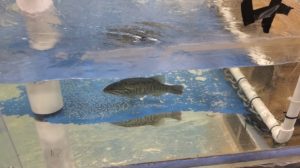
A smallmouth bass is held in a tank during experiments to understand how turbulence around structures affects fish. (Photo courtesy of Katey Strailey)
In my work, I place cylinders that vary by diameter and orientation into tanks to explore how the basic components of structures change the flow. This allows me to very finely link fish responses and flow characteristics to the cylinder and orientation I’m using. For example, lunkers are popular hiding spots for many fish; they look like small wooden caves in the riverbank. Because the overhead components do not affect the flow, we can simulate these structures in our lab experiments using vertical cylinders, then assess their unique turbulence. We can also assess structures found in other natural habitats, such as riffles, that are often incorporated into restoration projects.
Q: What are the mechanics of your experiment?
I honestly think I get to do really cool stuff! Essentially what we’re doing is measuring the decline of oxygen in water as fish do their thing (swim). How much oxygen a fish uses as it swims is linked with how much energy it’s using. By measuring the oxygen they use, we also know how hard they’re working and how much energy they’re using to swim. The catch with oxygen consumption is that with fish, it has to be measured in a completely closed environment with a limited amount of water. If you have too much water, open to the environment, you can’t really know how much of that oxygen is being used by the fish specifically. I use what’s essentially a fish treadmill to measure the oxygen they use: it looks like a little racetrack, the fish hangs out in one section of this racetrack, and the flow recirculates so they can keep swimming while staying in place.
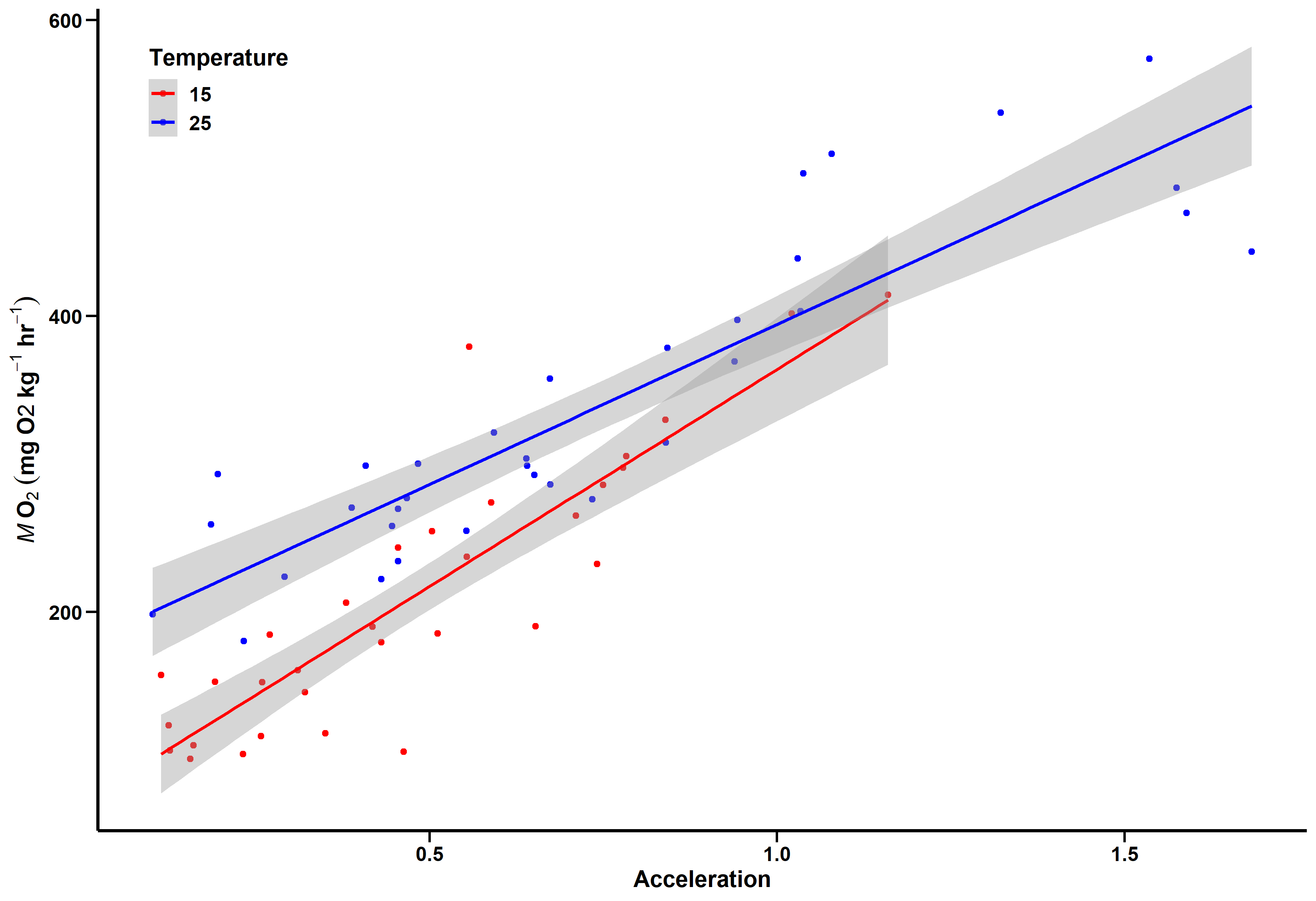
Katey Strailey uses graphs like this to understand how a fish’s oxygen use and their acceleration are related. (Graphic courtesy of Katey Strailey)
Since I can only directly measure this in the fish treadmill, if I want to test them in other environments I have to use a proxy. For my research, that proxy is acceleration. While they’re swimming in the treadmill and I’m measuring the oxygen use, I also measure their acceleration using an accelerometer. This same type of technology is used in smartphones to tell if you’re holding the phone upright or on its side.
Q: How exactly do you use an accelerometer with the fish?
A: I do fish surgeries! I just take these tiny accelerometers and slip them into the fish and let them recover. My fish are very resilient and recover quickly – within minutes, they’re back swimming with their fish buddies. I’ve done well over 100 surgeries and I’ve never lost a fish, ever. When the accelerometer is in a fish and can communicate with a receiver I have, I can put the fish in any kind of environment and then estimate how much energy they’re using to swim, thanks to the link to the fish treadmill that we already talked about.
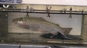
A rainbow trout is held in a tank while oxygen and acceleration are measured. (Photo courtesy of Katey Strailey)
Q: What gets you most excited about this project?
A: We aren’t just sticking with the lab! We are moving towards real world and real river environments. Other studies have looked at the interactions between fish and turbulence, but it oftentimes comes from an interesting novelty angle. There’s not much research that applies this to a conservation or restoration context. Our ultimate goal here is to find new tools, or something that can complement other methods, to help refine best practices during restoration efforts.
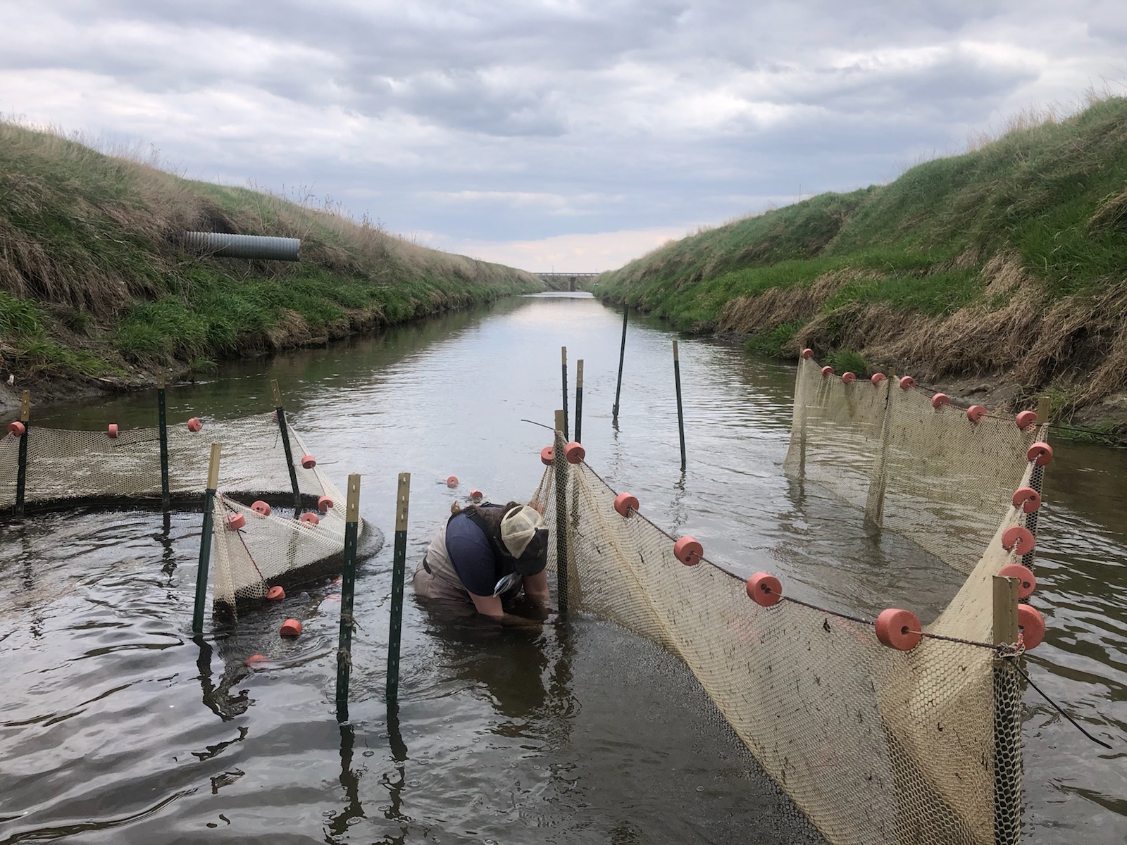
Researchers repair field enclosures. These help understand effects of river and stream restoration on fish. (Photo courtesy of Katey Strailey)
Q: What species do you use?
A: I’ve used two species: rainbow trout and smallmouth bass. The rainbow trout are the ideal species for any study looking at fish and turbulence because of their body shape, which is sort of narrow like salmon and other fish that are raised in hatcheries and then released into streams that feed Lake Michigan.
Another thing I am excited about is that when I was doing my large-scale lab experiments, a lot of my fish would go behind an object oriented vertically in the water. The fish position their bodies so that when a vortex of turbulence comes towards them, their body takes advantage of it and propels them forward into the turbulence. Some fish have this great body shape that can swim upstream without exerting energy. It looked like the smallmouth bass may have done that, but I need to do more trials.
Illinois-Indiana Sea Grant’s Terri Hallesy and Leslie Dorworth and I pulled up along the river’s edge and parked our car on the gravel road. As our group approached the bank, two majestic egrets took flight looking like purest snow against a backdrop of vibrant blues and green. A bald eagle had been spotted earlier, perched on a favorite branch of a dead cottonwood hanging over the river.
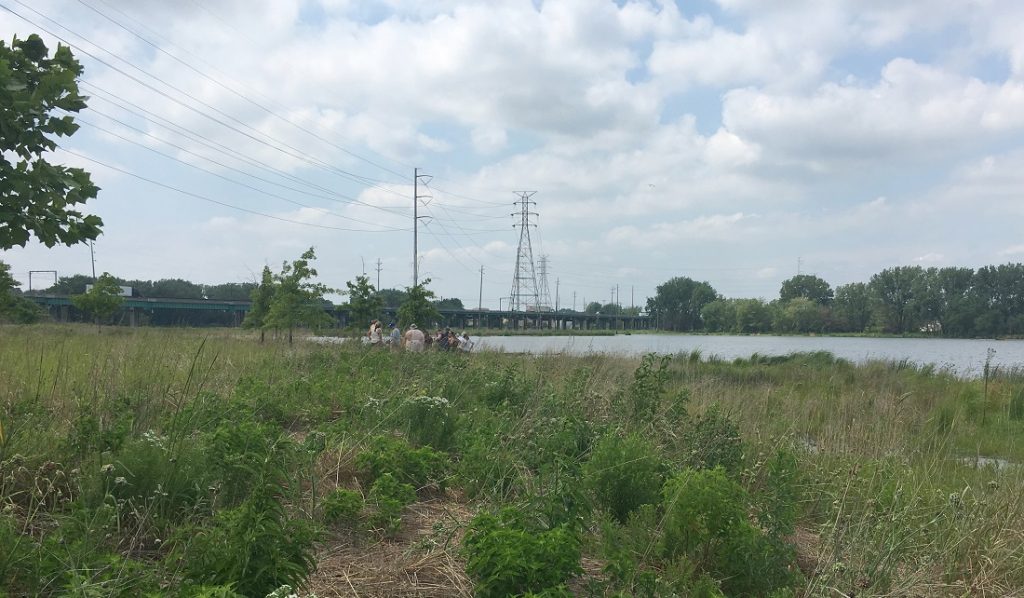
Educators tour Roxana Marsh, a 19-acre restoration site.
It’s hard to believe that five years ago, a brown stand of the invasive species, Phragmites, had dominated the landscape where we were standing. The Grand Calumet River has made a radical transformation over the last 10 years thanks to the Great Lakes Legacy Act and many dedicated federal, state, and local partners. Our mission that day was to help 42 teachers from South Bend, Indiana understand just how large the ongoing transformation is, in hopes that they would carry this inspirational message back to their classrooms in the form of science labs, writing assignments, and other educational activities.
We set out to accomplish this mission by hosting an IISG teacher workshop at Purdue University Northwest, Hammond campus in collaboration with The Nature Conservancy (TNC), the Indiana Department of Natural Resources (DNR), and the Indiana Department of Environmental Management (IDEM).
IISG’s Caitie Nigrelli stands in front of 58 acres of restored wetlands of the East Branch of the Grand Calumet River.
Leslie and I have worked many years on the Grand Calumet River remediation and restoration and led the workshop. IISG assistant, Ben Wegleitner, played a coordinating role. Working together, we brought in partners, Susan MiHalo (TNC), Carl Wodrich (DNR), and Anne Remek (IDEM), to talk about the Grand Calumet River and to host a tour of restored sites along the river.
As IISG education coordinator, Terri demonstrated curricula and classroom activities as educators worked in groups, insuring its infusion into existing science curricula.
She shared information about the issue of aquatic invasive species spread by sharing an innovative web site, Nab the Aquatic Invader! This engaging tool introduces students (grades 4-10) to marine and freshwater invasive species and their impacts using a detective theme and cartoon characters. Teachers also learned the environmental issue concerning improper release of classroom animals and plants and the threat they pose to the Great Lakes ecosystem through the campaigns, Habitattitude™ and Be a Hero-Transport Zero ™.
Carl Wodrich (right), Indiana Department of Natural Resources, guides educators on a hike.
Terri explained what she hoped to achieve that day—through direct experience with relevant education resources, these educators are now better equipped to explain how students can play an active role in helping to prevent the spread of AIS and foster a greater awareness of aquatic science.
Students from nearby schools are on their way to developing a “sense of place” for the Grand Calumet River after spending several hours at the Seidner Dune and Swale Nature Preserve engaged in learning and stewardship. The site in northwest Indiana is a recently restored natural area along the river and boasts of lupines, bald eagles, great egrets, crayfish and more.
Video by Abigail Bobrow, IISG communication specialist
Sense of place is a social science concept that captures whether a person identifies with or feels an attachment to or dependence on a location, and it is predictive of future environmental stewardship at that site. Caitie Nigrelli, Illinois-Indiana Sea Grant environmental social scientist, evaluated the students and found an increase in their sense of place for the natural area after their field trip.
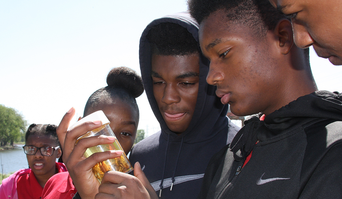
On May 18, the Grand Calumet Stewardship Day, an annual event for the past five years, brought out students from Eggers Middle School and Bishop Noll High School, both in Hammond, Indiana, and 21st Century Charter School in Gary. The students visited four stations where scientists and experts guided them through bird watching, learning fish species, identifying macroinvertebrates, and planting oak trees.
“This is my first time actually walking around, looking at stuff,” said ninth-grade student Demondrick Velez from the 21st Century Charter School. “Is this my first time here? No, I’ve been here, but just not deep into it like this.”
At one point, the Grand Calumet River was considered the most polluted river in the nation. In recent years, with funding from the Great Lakes Legacy Act and local partners, the river is being cleaned up and restored. Altogether, two million cubic yards of sediment have been removed or capped. The work on the East Branch of the river, which is where Seidner Dune and Swale is located, is finished, with 1.1 million cubic yards of sediment remediated and 58 acres of marsh habitat restored.
Even during the river’s worst days, there were pockets of natural wonder.
“The Grand Calumet River is historically known as biologically diverse and it has very unique ecosystem associated with it. The globally rare dune and swale complex, which is next to the river, is globally rare. There is only about 17,000 acres left on the entire planet of this kind of habitat,” said Susan MiHalo, conservation coordinator at The Nature Conservancy, and organizer for this year’s event.
“I love that they’re bringing back the native plants and the native animals and they’re trying to get rid of the pollution. When I get older, even now if I can, I’m going to try to help so I can make it better too,” said Jamarion Evans, an Eggers Middle School student.
“We look forward to coordinating with the teachers to plan additional field trips that can further establish the students’ sense of place for the river,” said Nigrelli.
In addition to Illinois-Indiana Sea Grant and The Nature Conservancy, the stewardship day was hosted by the Shirley Heinze-Land Trust, Dunes Learning Center, City of Gary, Indiana Department of Environmental Management, Indiana Department of Natural Resources,
U.S. Environmental Protection Agency, U.S. Forest Service, U.S. Fish and Wildlife Service, Audubon Chicago Region, Wildlife Habitat Council, and Urban Waters.
Illinois-Indiana Sea Grant is a part of University of Illinois Extension and Purdue University Extension.
The 2.6-mile section of the river, located near the Port of Monroe, Michigan’s only port on Lake Erie, was contaminated with PCBs and lead from nearby manufacturing. Multiple cleanups starting in 1997 have removed a total of 135,000 cubic yards of contaminated sediment.
The River Raisin was once home to American lotus beds and sturgeon populations. Pollution drove these species away, but the cleanup will restore the river and provide a healthy habitat for native fish, birds, and plants.
Dredging was then followed by a process known as capping that involves the installation of sand, clay, and stones over any residual contaminated sediment to create a barrier with the rest of the waterbody. This strategy is commonly used in combination with dredging.
“Contractors worked 24 hours a day, seven days a week over the last month or so to get the remedial cap installed,” Ben Wegleitner, IISG sediment remediation outreach specialist. “They wanted to get the top layer of armor stone in place before the next large freighter came into port.”
Wegleitner narrated the video above.
In the coming weeks, the equipment and the sediment processing area will go through a complete decontamination procedure before being removed from the site.
The area will continue to go through extensive monitoring before it’s officially delisted from the Areas of Concern list through a process that can take years.
“This site has been through a lot in the last 30 years,” Wegleitner said. “Without a doubt, this is a major milestone.”
Illinois-Indiana Sea Grant is a part of University of Illinois Extension and Purdue Extension.
Caitie Nigrelli, IISG environmental social scientist, was recognized with two Bronze Medal Awards from U.S. EPA Region 5 for her work as part of the East Branch Grand Calumet River remediation and restoration project team and the Lincoln Park area and Milwaukee River Channel remediation and restoration project team.
To learn more about Nigrelli’s participation in these projects, check out past coverage of the Grand Calumet River and of Lincoln Park.
Region 5 of the EPA covers six states surrounding the Great Lakes: Minnesota, Wisconsin, Illinois, Indiana, Michigan, and Ohio. A full list of the teams is below.
Illinois-Indiana Sea Grant is a part of University of Illinois Extension and Purdue Extension.
Schoolchildren once again got the chance to explore and learn from the environmentally remarkable Grand Calumet River at the remediated Roxana Marsh in northwest Indiana.
Seventy students from fourth and sixth grades atHarrison,McKinleyandCarrie Gosch elementaryschools worked one-on-one with scientists and experts doing activities like fish identification, macroinvertebrate sampling, bird watching, and tree planting. The mayor of East ChicagoAnthony Copeland even stopped by and helped the students plant a swamp white oak, a tree native to the area.
For a long time, the Grand Cal was referred to as the most polluted river in America. Through Great Lakes Legacy Act funding, almost 2 million cubic yards of river and wetland sediment have been removed or capped and 84 acres of habitat have been restored, including Roxana Marsh.
“It builds pride-in-place,” said Caitie Nigrelli, IISG environmental social scientist who’s been organizing the event every year. “It also helps encourage kids to take part in future stewardship efforts.”
Carrie Gosch Elementary sixth-grader Gerald Lewis was impressed by all the birds and insects and fish he saw.
“I didn’t know we were going to see this much, like eggs on the ground and stuff,” Lewis said. “And we saw some of the fish that was polluted by the oil.”
But his new-found interest in the environment didn’t end there. It made him want to do something about it.
“I felt sad at first when they showed us the fish that was getting hurt and killed,” Lewis said. “That made me want to think, like when I get older, I can help them.”
Illinois-Indiana Sea Grant is a part of University of Illinois Extension.
Milwaukee residents who have spent most of their lives near the sprawling Lincoln Park have stories to tell about how degraded the park had become. The Milwaukee River was hidden behind buckthorn and other brush and the fish that lived in the tainted water were too contaminated to eat.
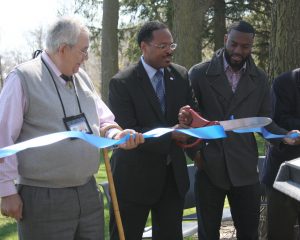
Last week they shared some of these memories as part of a joyous celebration that the park and river have been cleaned up. State Representative Mandela Barnes described the park now as “good for people’s health.” At this event, a ceremonial ribbon was cut and the park was officially reborn.
Lincoln Park is in the Milwaukee Estuary Area of Concern, designated by the International Joint Commission. Contamination in the park came from historic industrial and municipal discharges among other sources.
The cleanup of Lincoln Park got its biggest boost from the Great Lakes Legacy Act, which provided federal matching funds from the U.S. Environmental Protection Agency to share the project’s cost with Wisconsin Department of Natural Resources (DNR) and Milwaukee County Parks. Agency representatives, as well as local officials and residents, were on site to celebrate this success story.
Over a four year period, 171,000 cubic yards of sediment laced with an alphabet soup of contaminants—PCBs, PAHs, and NAPLs—were removed from targeted zones in the river and 12.5 acres of shoreline were restored. Commenting the time and work that went into this remediation and restoration, Cameron Davis, EPA senior advisor to the administrator, described the project partners as more persistent than the contaminants themselves.
Throughout the process, Caitie Nigrelli, IISG environmental social scientist was on the ground, keeping the community informed, but also facilitating residents to take some ownership of the park. Nigrelli helped a volunteer organization get started—Friends of Lincoln Park—and joined in the group’s one year anniversary last fall.
Anne Stadler Vaillancourt, a leader of the Friends group, spoke at last week’s event and a number of members were there to set up, take down, and enjoy the festivities. The organization is enjoying success and is ready to grow in membership. They recently held a volunteer cleanup day at the park and more than 100 people showed up. They have two upcoming Weed Out events to remove invasive species on May 14 and May 28.
Stadler Vaillancourt expressed to the morning’s participants that the Friends of Lincoln Park are committed to take care of the park for the long term.
Also in attendance were: Kevin Haley, landscape architect and John Dargle, Jr., director, both of Milwaukee County Parks; State Sen. Lena Taylor; State Rep. David Brown; Theo Lipscomb, chairman of Milwaukee County Board of Supervisors; and Ed Eberle, assistant deputy secretary of Wisconsin DNR.
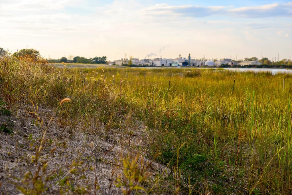
The Grand Calumet River in northwest Indiana, abused from centuries of industrial contamination, celebrated a triumphant milestone in October.
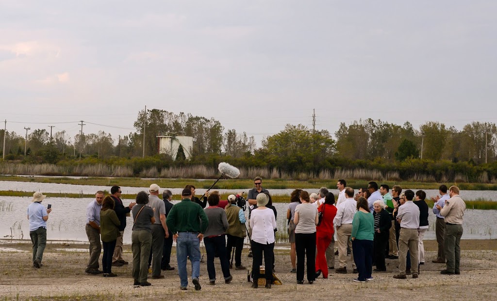
Volunteers, environmental organizers, and local, state, and federal politicians gathered to admire the incredible transformation of a river that was once drained of its ecological significance.
IISG Environmental Social Scientist Caitie Nigrelli who led an outreach team to raise awareness about this enormous undertaking soaked it all in.
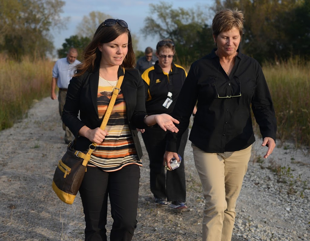
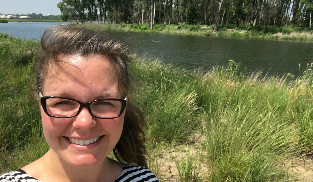
Caitie Nigrelli, left, and Diana Mally, an environmental
engineer with the U.S. EPA, walk by the river.
“I’m enjoying the beautiful river,” Nigrelli said. “It‘s amazing because just a few years ago I was standing in the same spot, and it was contaminated. Now I look out and it is clean and beautiful.”
Nigrelli serves as a liaison between the U.S. Environment Protection Agency (EPA) and community stakeholders to promote awareness of the Grand Cal remediation through public meetings, tours, and events with school children.
The Grand Calumet was at rock bottom when the International Joint Commission designated it as an Area of Concern in 1987. Since then $159 million in combined state and U.S. EPA funds through the Great Lakes Legacy Act have thus far provided the means to clean it up.
Because of the extent of the work, the Grand Cal’s 13-mile system was divided into eight separate projects, with more milestones to come. This most recent event marked the completion of a 2-mile section from Kennedy Avenue to Cline Avenue at a cost of $82 million. The money went toward remediating 1.1 million cubic yards of contaminated sediment, restoring 58 acres of marsh habitat, and installing more than 170,000 plants.
This effort not only remediated sediment, but also removed invasive species like Phragmites that had overrun dune and swale habitat, crowding out native plants.
The federal funding, while generous, comes with a significant stipulation: Local partners must match at least 35 percent of the cost of remediation. The Indiana Departments of Natural Resources and Environmental Management footed the bill with money from a Natural Resource Damage Assessment involving eight industries.
Kris Krouse, Shirley Heinze Land Trust executive director, said, “From our perspective as an organization, it is probably one of the most spectacular and monumental achievements when it comes to land conservation.”
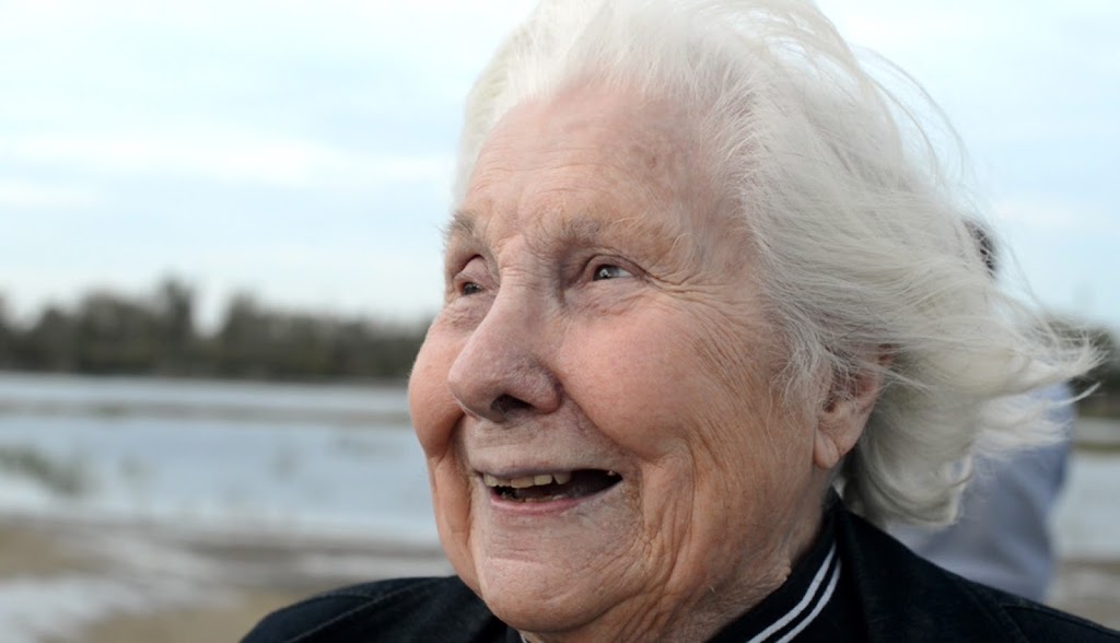
Octogenarian Lee Botts, a prominent Great Lakes environmental activist since the 1960s, is making a film about the changes the south end of Lake Michigan is experiencing. She remembers questioning that any kind of restoration was ever going to happen.
“Amazing progress is being made by partnerships among all kinds of interests—some of whom in the past were enemies and opposed the conservation,” Botts said. “Now it’s a shared goal of all these interests. We’re making progress.”
Remediation on the next section starts next week—going west, it includes the city of Hammond and will go up to the Illinois border.
For more information on the ongoing cleanup of the Grand Calumet River, visit www.greatlakesmud.org.
This story appears in the latest edition of The Helm.
Environmental clean-ups can revitalize a waterway and nearby neighborhoods, but are they always good for everyone in a community? Are there people left behind, or worse, negatively impacted by the process or the results?
Bethany Cutts and Andrew Greenlee (pictured here left, with a Milwaukee resident), both University of Illinois researchers, are investigating these questions in conjunction with Great Lakes Legacy Act clean ups in Milwaukee’s Lincoln Park and the Grand Calumet River in northwest Indiana. In Milwaukee, they have been interviewing residents, as well as representatives from businesses and grassroots organizations that have a stake in river management activities to learn how the remediation experience is playing out for more vulnerable members of the community.
Social vulnerability is a measure that is typically used when a community goes through turbulent change, which is mostly disasters. Vulnerable populations are defined by census categories—low income, minorities, single mothers, the elderly, for example.
“Socially vulnerable populations generally have a lack of capacity to recover from these setbacks or do not have a voice during the community decision process,” said Cutts. The interviews provide an opportunity to inform how vulnerable populations are characterized and it can help target outreach during remediation projects.
According to El Lower, a Master’s student working on this project, one preliminary finding in these taped interviews is that generally, residents tend to think about different river restoration projects together. They don’t separate them in terms of who is funding the work or the different project goals.
In the Milwaukee area, this means that the Great Lakes Legacy Act project, which has led to the removal of many cubic yards of contaminated sediment, may become viewed by residents as connected to a controversial plan to remove the Estabrook Dam upstream.
Caitie Nigrelli, IISG social scientist, affirmed that at public meetings for the Lincoln Park sediment remediation project, discussions were overtly steered away from the contentious dam.
Through listening to residents and their strong opinions on the dam, the research team has come to have some advice for environmental organizations and agencies involved in other nearby restoration projects. “The conflict the dam generates may help outreach coordinators more successfully address residents’ questions and concerns regarding the Milwaukee River as a whole,” said Cutts.
Also, the dam project provides a ripe opportunity to hear from vulnerable populations. For her Master’s project, student Kaitlyn Hornik (pictured on right with El Lower) will create a video from interviews and focus groups to share the opinions of those who are not typically heard, which will be shown at a community meeting. “Public forums can be intimidating. The video can open people’s eyes to different points of view,” she explained. “It helps create a level playing field.”
Next, the researchers will turn their sights to northwest Indiana where the Grand Calumet River has been undergoing remediation for several years to learn how this is impacting residents.
“We need to think about socially vulnerable groups and if possible include them in the process,” said Cutts. “Analyzing how change can occur is important. The remediation process can be opportunity to have more compassion regarding how this process impacts people.”
What does a career in natural resources look like?
This month, a group of 4-H youth joined us at Martell Forest to find out! From tree climbing and birding to creating scent traps and dissecting owl pellets, participants spent three days exploring the many ways people work with and protect our natural resources.
Thanks to everyone who joined us! We can’t wait to see where your adventures take you next!


 “This is my first time actually walking around, looking at stuff,” said ninth-grade student Demondrick Velez from the 21st Century Charter School. “Is this my first time here? No, I’ve been here, but just not deep into it like this.”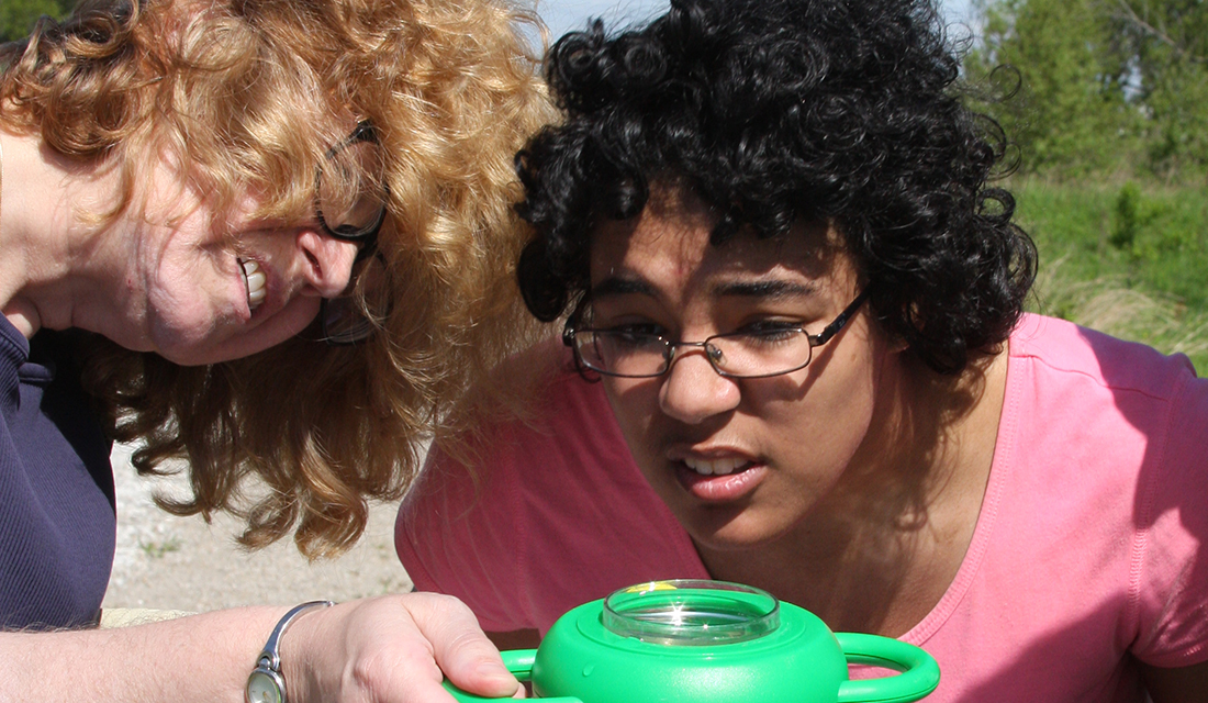
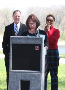 Anne Stadler Vaillancourt, a leader of the Friends group, spoke at last week’s event and a number of members were there to set up, take down, and enjoy the festivities. The organization is enjoying success and is ready to grow in membership. They recently held a volunteer cleanup day at the park and more than 100 people showed up. They have two upcoming Weed Out events to remove invasive species on May 14 and May 28.