File Type: pdf
File Size: 2.54 MB
File Size: 2.54 MB
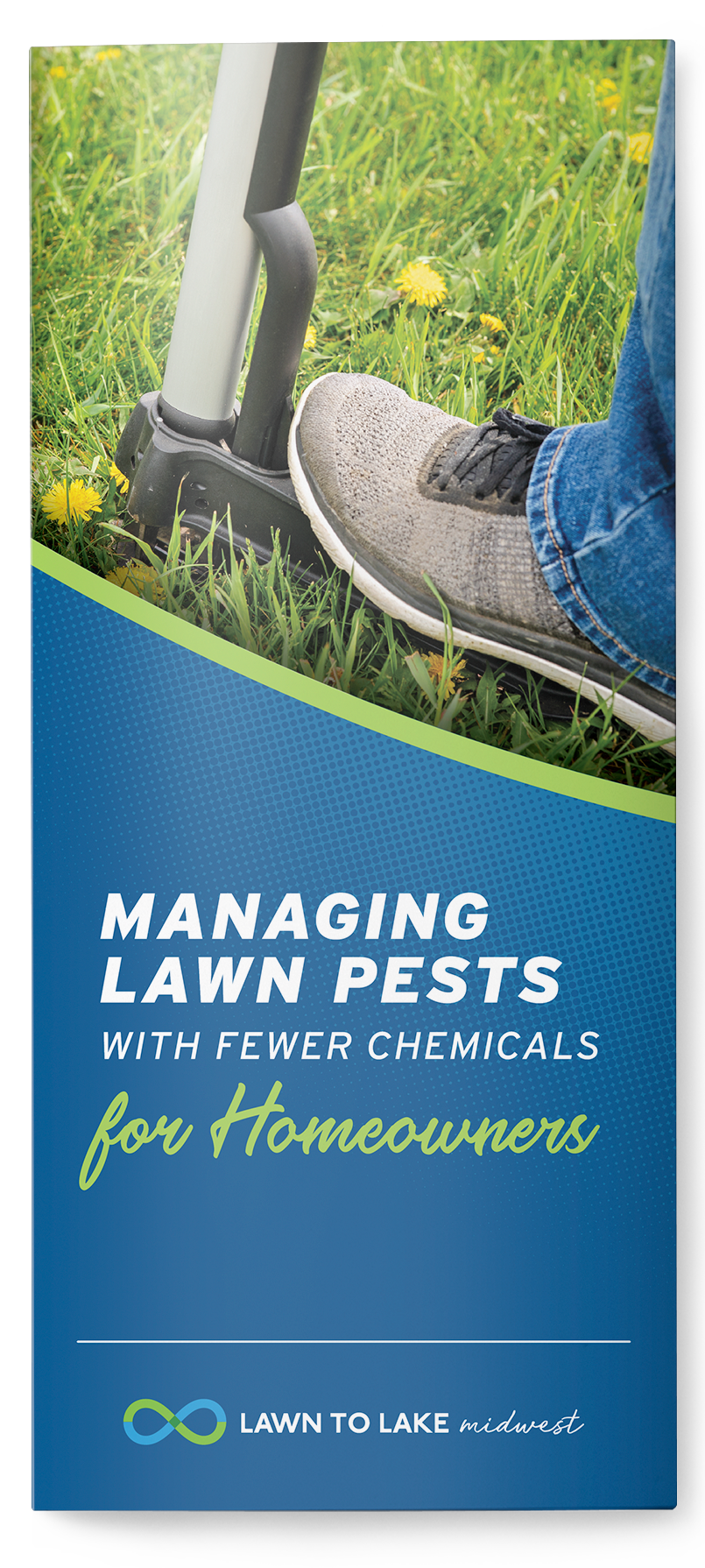
This brochure is a part of a natural lawn care communication campaign developed and refined through a series of grant funded homeowner surveys and focus groups. The goal is to address the issue of lawn care-related pollution in watersheds by targeting outreach efforts directly towards homeowners engaged in lawn care. Managing lawn pests was identified as a main concern for homeowners. Integrated Pest Management (IPM), outlined in this brochure is a tool homeowners can implement to minimize reliance on pesticides, reduce treatment costs, improve lawn health and protect surface and ground water.
References:
- Environmental Protection Agency. (2017, August). Introduction to Integrated Pest Management. https://www.epa.gov/managing-pests-schools/introduction-integrated-pest-management
- UC IPM. What Is Integrated Pest Management (IPM)? University of California Statewide Integrated Pest Management Program. (UC IPM). https://www2.ipm.ucanr.edu/What-is-IPM/
- Calhoun, R. N. (2015). Integrated Pest Management for Home Lawns. MSU Extension. https://www.canr.msu.edu/resources/integrated-pest-management-for-home-lawns
- Reicher, Z., Throssell, C. (1998, July). Improving Lawns in the Shade. Purdue Extension. https://www.extension.purdue.edu/extmedia/AY/AY-14-W.pdf
- Environmental Protection Agency. (2017, June 28). Healthy Lawn, Healthy Environment: Caring for Your Lawn in an Environmentally Friendly Way. https://www.epa.gov/safepestcontrol/healthy-lawn-healthy-environment-caring-your-lawn-environmentally-friendly-way
- Pennsylvania State University. (n.d.). Pennsylvania Integrated Pest Management [Brochure]. Pennsylvania Integrated Pest Management. http://www.paasthma.org/images/docs/IPM_brochure.pdf
- Pennsylvanian State University Extension. (2011, March). Steps of Integrated Pest Management. https://extension.psu.edu/steps-of-integrated-pest-management-ipm