Topic: Climate Ready Communities

Sort By: Alphabetical | Newest | Oldest

Illinois Native Plants for the Home Landscape Thumbnail
File Type: pdf
File Size: 1.84 MB

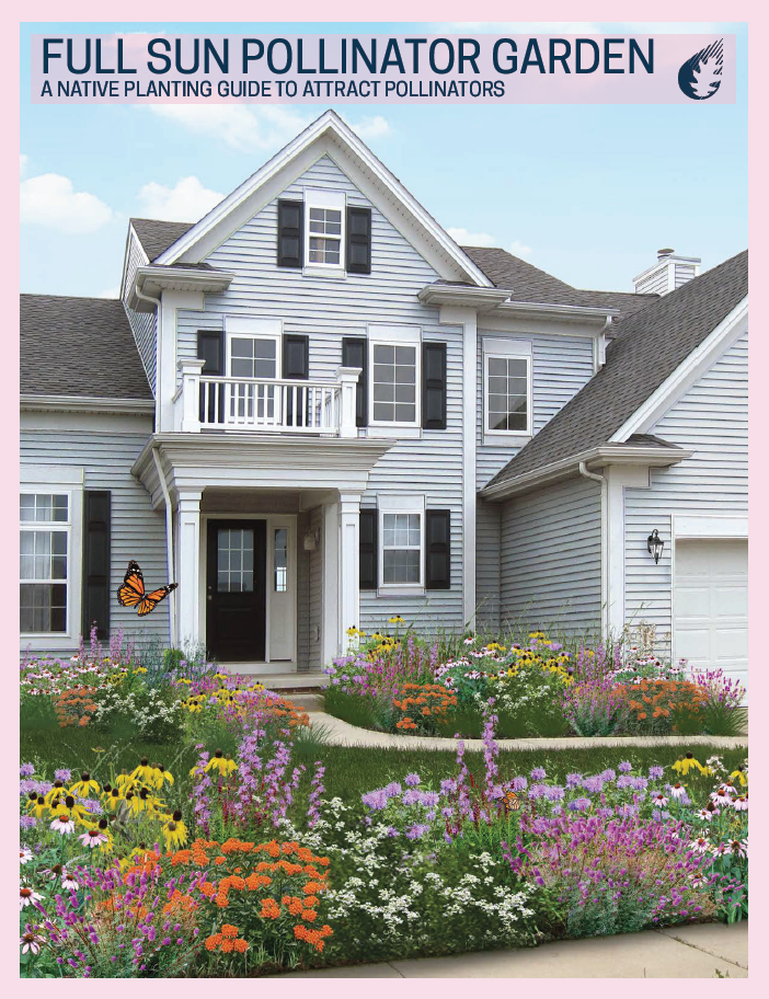
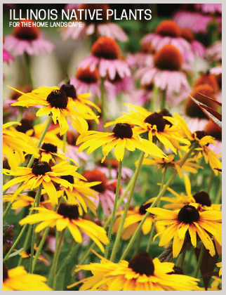
This brochure is a guide to the characteristics and benefits of selected Illinois plants to help home gardeners choose native plants appropriate for site-specific conditions.

Alternative Version

A screen reader friendly version is available at: https://iiseagrant.org/wp-content/uploads/2021/01/Accessible-Illinois-Native-Plants-for-the-Home-Landscape-Brochure.pdf.

En Español

Plantas Nativas de Illinois en español está aquí.
La publicación para un lector de pantalla está disponible aquí.

Download File

Full Sun Pollinator Garden- A Native Planting Guide to Attract Pollinators Thumbnail
File Type: pdf
File Size: 1.69 MB

This guide features a plant plan that creates year-round interest for people and extends the foraging season for pollinators.

Alternative Version

A screen-reader friendly version is available at https://iiseagrant.org/wp-content/uploads/2020/07/Accessible-Full-Sun-Pollinator-Garden-Brochure.pdf.
A printer friendly version is available at https://iiseagrant.org/wp-content/uploads/2024/03/Full-Sun-Pollinator-Garden_Printer-Ready_English.pdf

En Español

Jardín de Lluvia a Pleno Sol en español está aquí.
La publicación para un lector de pantalla está disponible aquí.
La publicación para imprimir está disponible aquí.

Download File

Tipping Point Planner Curriculum Thumbnail
File Type:
File Size:

Through the decision support system, Tipping Point Planner (tippingpointplanner.org), communities in Great Lakes states can plan for a sustainable future by directly linking data to the local decision-making process. With help from trained facilitators, Tipping Point Planner enables professional as well as citizen participation in the land use planning and management process, including maintaining projects using a HUC 12 watershed scale. The program provides information, tools, and resources to help communities work with diverse stakeholders to:

  • Examine past and predicted land-use changes
  • Identify environmental threats
  • Define natural resource assets in need of protection or restoration
  • Explore land-use strategies and policies that enhance local values
  • Gain the framework to define a community’s priorities through interactive community visioning exercises

The curriculum contains education materials and resources to support community planning for land use and natural resource management. The following curriculum chapters are available for download:

  • Tipping Point Planner Introduction
  • Planning Tools for Land Use and Natural Resource Management
  • Tipping Point Planner Modules

To learn more about facilitated community action planning program offerings, please visit www.purdue.edu/fnr/extension/scep/programs/tipping-point-planner

To download this resource visit the Purdue Extension EdStore at https://mdc.itap.purdue.edu/item.asp?Item_Number=ID-514-TPP.

Download File

What is a Meteotsunami? Meterological Tsunami: A Tsunami-Like Wave Caused by Weather Systems Thumbnail
File Type: pdf
File Size: 934.67 KB

Meteotsunamis are a tsunami-like wave generated from severe weather impacts on speed and direction of wave movement over a waterbody. These events can result in a localized rise in water levels by as much as 1-2 feet, leading to dangerous rip currents, and lasting minutes to hours. While a true tsunami is much larger, meteotsunamis are more widespread and occur more often. Meteotsunami frequency is realted to both storm frequency and the charactaristics of a waterbody and its coast. In the Great Lakes, they are observed most frequently at sites with the largest harbors posing a sudden threat to beachgoers safety. Many people are unaware of the phenomena and the dangers they produce. While somewhat rare, these events are most common from late spring to early summer and are likely to become more of a concern due to climate change, with increasing frequency and severity of storms in the Great Lakes region.

Download File

Informing the Development of the Great Lakes Region Decision Support System Thumbnail
File Type:
File Size:

Land use planners in the Great Lakes region make recommendations that can affect the quality and quantity of ground and surface water resources. Challenges include a lack of up-to-date data, and insufficient political and financial support. In this publication, university researchers in the Great Lakes region show how collaboration led to development and maintenance of an online decision support system.

Document is available from the Purdue Extension Education Store at, https://mdc.itap.purdue.edu/item.asp?Item_Number=FNR-601-W.

Download File

Climate Change: Communication Strategies to Support Local Planning Thumbnail
File Type:
File Size:

Despite strong evidence that climate change is happening, many people do not realize the urgency with which we need to act, nor do they fully understand the types of impacts facing their communities. This publication provides some basic, but proven, strategies to help local officials more effectively communicate with the public about climate change.

This file is available from the Purdue Extension EdStore at, https://mdc.itap.purdue.edu/item.asp?Item_Number=ID-519-W.

Download File

Climate Change: Are you preparing for it? Thumbnail
File Type:
File Size:

This publication provides an overview of how changing climate conditions will affect the Midwestern United States, with a specific focus on Indiana, along with sensible strategies for coping with these changes. It is intended to help regional policymakers understand past and future environmental changes to support local and regional planning efforts.

This document is available through the Purdue University Extension Education Store at https://mdc.itap.purdue.edu/item.asp?Item_Number=ID-520-W.

Download File

Skip to content